ARTICLE:
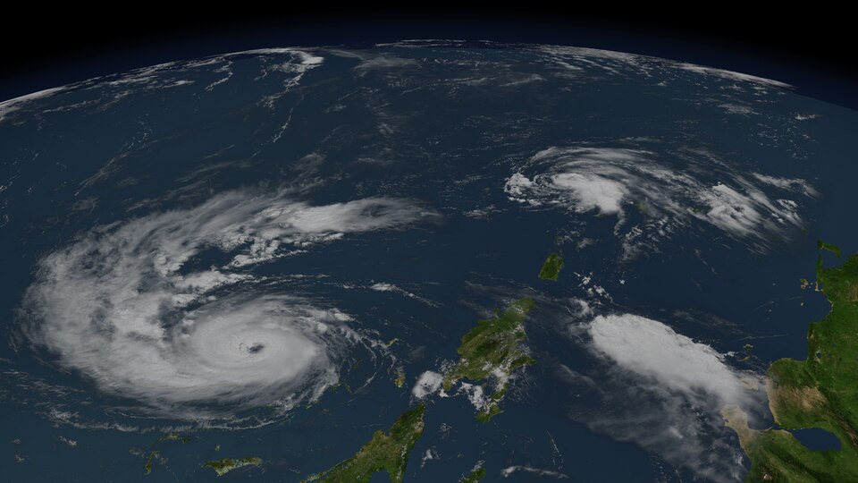
The first potential tropical cyclone of the 2026 Atlantic hurricane season developed in the northwestern Gulf of Mexico on Wednesday, threatening parts of the Gulf Coast with dangerous and possibly deadly flooding. The National Hurricane Center officially dubbed the system Potential Tropical Cyclone One.
As of Wednesday morning, the storm was approximately 35 miles southwest of Port O'Connor, Texas, and 255 miles southwest of Lake Charles, Louisiana. It was moving northeast at 6 mph with maximum sustained winds of 30 mph, still below the 39 mph threshold needed to be classified as a tropical storm, according to CBS News.
The hurricane center forecast the system would "move northeastward along the Texas coast today and then move inland over southwestern Louisiana by tonight." It added that "some strengthening is forecast, and the disturbance could become a tropical storm today. Weakening is anticipated once the low moves inland, and it could dissipate by tonight or early Thursday."
Even without reaching tropical storm status, the rainfall threat is significant. The system is "expected to produce rainfall totals of 5 to 10 inches, with isolated higher totals near 20 inches, through Thursday from the mid- and upper-Texas coast east-northeast into southern and central portions of Louisiana, Mississippi, and Alabama, along with western portions of Georgia and the Florida Panhandle," the center said. That rainfall "could generate dangerous to life-threatening flash flooding."
A tropical storm warning was issued for the Louisiana coast from Sabine Pass to Morgan City, meaning tropical storm conditions are expected within 24 hours. A tropical storm watch was posted for a stretch of Texas coast from Sabine Pass to Sargent.
About 56 million people could see flooding, CBS News meteorologist Nikki Nolan noted. The storm's effects are not limited to coastal areas. Several major cities including Dallas, Houston, San Antonio, and New Orleans could all experience extended periods of heavy rainfall. The rain could also affect World Cup events scheduled in Houston on Wednesday, Nolan noted.
The storm arrived as parts of the South were already dealing with record rainfall and life-threatening flash floods, with communities bracing for additional heavy rain through the rest of the week.