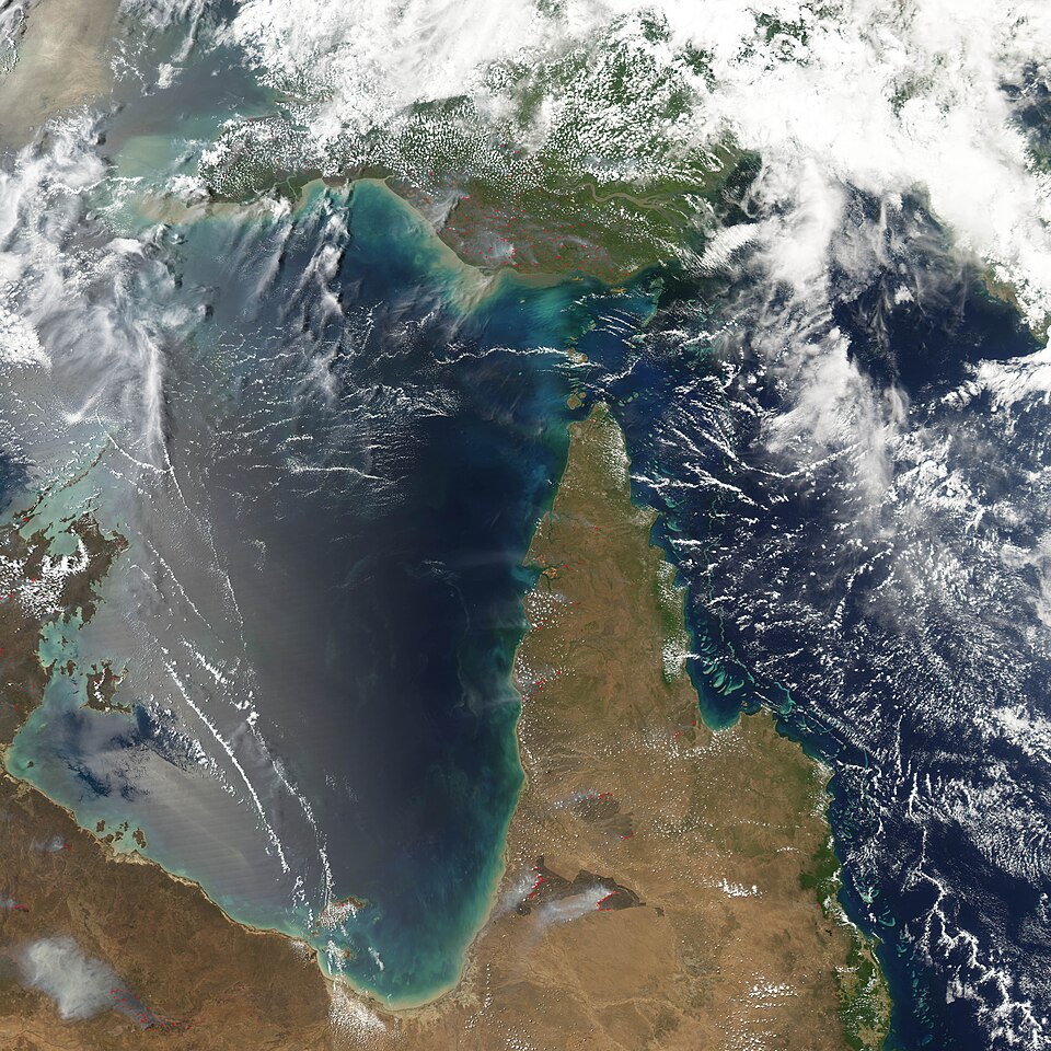
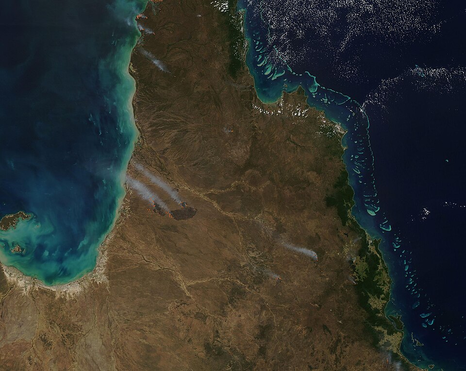
NASA satellites captured sweeping smoke plumes across Australia's Northern Territory on May 28, 2026, as land managers lit intentional fires across the tropical savanna landscape. The imagery showed fires spreading widely and producing large smoke plumes, resembling the kind of sizable wildfires that would normally raise alarms.
According to a report by Phys.org, the fires were not wildfires at all. The pattern of burning, location, and timing point to prescribed fires lit deliberately to manage the land. Land managers typically light these fires in the morning. Smoke builds throughout the day, and under moderate winds and updrafts, the plumes can grow large enough to be visible from orbit. That happened on May 28 and again on June 2.
The fires burn through fire-adapted grasses, underbrush, and scattered trees in the region's tropical savanna ecosystems. The goal is to reduce fuel loads early in the dry season, creating firebreaks that prevent more destructive and emissions-heavy fires from taking hold later in the year. Australia's Bureau of Meteorology says the dry season generally runs from May through September.
The practice draws on decades of combined effort. Over the past few decades, land managers in the region have merged deep-rooted Indigenous land management practices with modern technologies to build large-scale programs such as the West Arnhem Land Fire Abatement project and Arnhem Land Fire Abatement. These programs operate across some of the most fire-prone land on the continent.
NASA's Aqua satellite acquired the May 28 image in the afternoon, when smoke from the fires was at its most visible. On mornings just a few days before and after that date, NASA satellites detected many thermal anomalies, or hotspots, indicating fire activity, but little smoke. That difference reflects how prescribed burning works in practice: fires are lit in cool morning conditions and grow more active as temperatures rise.
Research into the effectiveness of these programs is ongoing, but early results are encouraging. Analysis of satellite observations suggests that prescribed burning efforts have shifted fire activity from late to early in the dry season. That shift has led to a reduction in high-intensity fires and lower overall emissions from the region.
The Top End and Arnhem Land regions see large numbers of wildland fires detected by NASA satellites in May and June most years. The scale of the prescribed burning programs in those areas means that satellite imagery during those months can look alarming even when the fires are carefully managed and intentional.