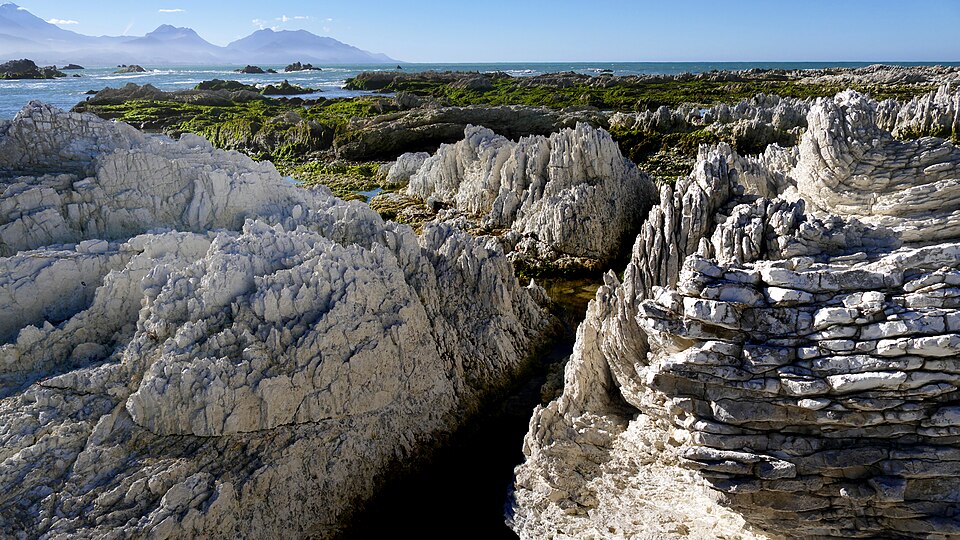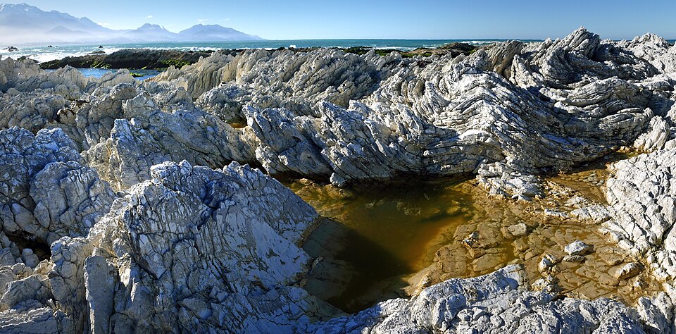
The 2016 earthquake that struck Kaikōura, New Zealand lifted parts of its famous peninsula by about a meter, pushing sections of the shore platform above the tidal zone. What happened next surprised researchers. Erosion rates on those uplifted surfaces more than doubled.
That finding comes from a study published in Earth Surface Processes and Landforms, drawing on data from the world's longest-running erosion monitoring record on any rock coastline. The record stretches back more than 50 years, to measurements begun by University of Canterbury emeritus professor Bob Kirk in 1973.
The magnitude 7.8 earthquake struck on November 14, 2016. According to the study, the uplift created a new marine terrace, moving shoreline rock out of the water and into conditions where it erodes differently. Professor Wayne Stephenson, from the University of Otago's School of Geography, says the results show something scientists had not directly measured before.
"This shows that major earthquakes can rapidly alter the way coastlines evolve and provides a rare example of how tectonic events reshape rock coasts," Stephenson said.
The findings carry weight beyond New Zealand. More than half of the world's shoreline is rock, and earthquakes regularly push coastlines upward in Japan, Chile, Alaska, the western United States, and the Mediterranean. Stephenson says his team may be the first to capture what happens immediately before and after such an event with direct measurements.
"We are probably the first to provide direct measurements of what happens immediately before and after an uplift event, showing dramatically altered erosion rates and processes," he said.
One of the more unexpected results involves geological memory. Researchers found that evidence of past earthquakes may vanish far more quickly than scientists had assumed. The newly formed marine terrace at Kaikōura began eroding so fast after 2016 that its geological record may not survive long enough to be useful to future scientists.
"At Kaikōura, the uplifted coastline began eroding rapidly after the earthquake, suggesting that newly formed marine terraces may not survive long enough to preserve a complete geological record of past events," Stephenson said. "The evidence for the 2016 event will disappear quickly and not be preserved."
That has direct consequences for how researchers reconstruct earthquake histories, estimate the frequency and magnitude of past events, and assess long-term seismic hazards for populated areas near active coasts.
Study co-author Dr. Sophie Horton, a senior lecturer at the University of Canterbury's School of Earth and Environment, said the Kaikōura data gives researchers a rare baseline for understanding erosion on tectonic coastlines. She noted that following the earthquake, the peninsula is now on a different trajectory as it works toward a new equilibrium.
The study involved researchers from multiple institutions, including the University of Otago and the University of Canterbury. The monitoring record itself, now more than five decades long, made the before-and-after comparison possible in a way that shorter datasets simply could not have supported.