Canada's national parks are not consistently protecting landscapes from the kind of fragmentation that blocks wildlife movement, according to a new study led by researchers at Concordia University.
The study, published in the journal Environmental Monitoring and Assessment, examined 43 national parks and national park reserves across Canada. Researchers compared changes inside each park with changes in nearby unprotected areas, tracking the period from when each park was designated through 2020.
To measure fragmentation, the team used a metric called effective mesh size, which estimates how easily animals can move through a landscape. A larger mesh size means more connected habitat. A smaller one means more barriers.
About half of the parks and their nearby comparison areas saw little change over time, mostly in remote regions. But roughly 35 percent of parks became more fragmented faster than comparable unprotected land. Only about 15 percent of parks showed slower fragmentation than their control areas.
The pattern was not uniform across the country. Protection worked best in the Taiga, the Prairies, the Pacific Maritime region along the British Columbia coast, and Arctic ecozones. It was least effective in the Cordilleras, which includes the Rocky Mountains, and in the Hudson ecozone along the southern shoreline of Hudson Bay.
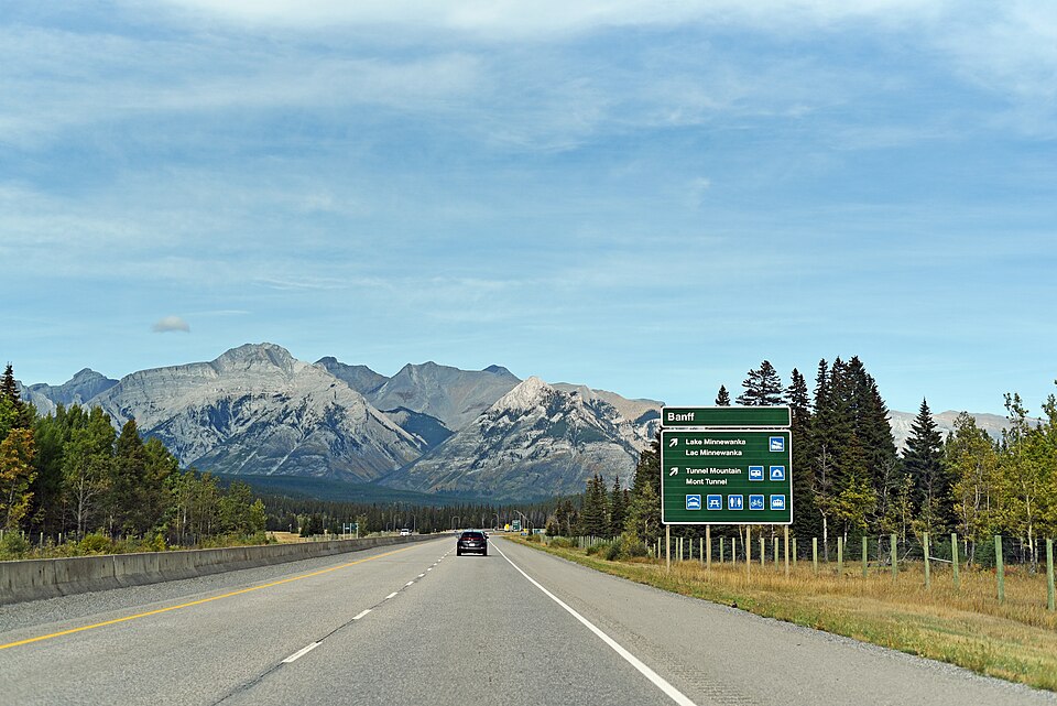
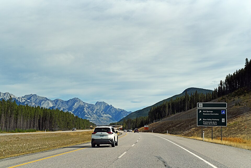
Several well-known parks fell into the category where fragmentation increased more than in surrounding unprotected areas. Banff, Jasper, Yoho, Kootenay, Prince Albert, and La Mauricie all showed that pattern. Older parks with long histories of tourism and transportation infrastructure generally became more fragmented than nearby unprotected landscapes.
The researchers say their findings point to the need for long-term monitoring of landscape fragmentation inside parks. Tracking changes over time, they argue, is the only way to assess whether Parks Canada's management strategies are working.