Freshwater biodiversity is declining faster than biodiversity in either terrestrial or marine ecosystems, but conservation resources remain limited. A team of researchers has built a new framework designed to show exactly where those limited resources can do the most good, according to a report by Phys.org.
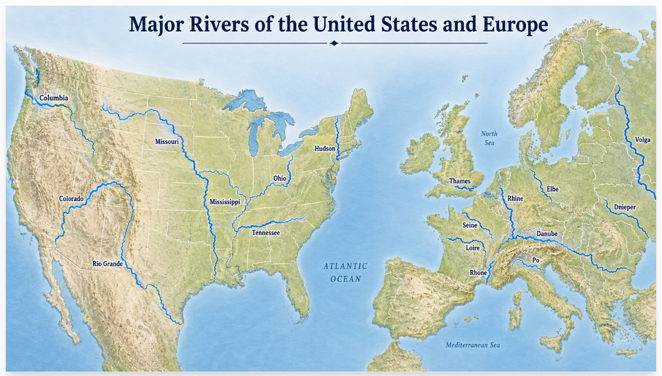
The study, published in the journal npj Biodiversity, was developed by researchers at the International Institute for Applied Systems Analysis, known as IIASA, along with partner institutions. It applies the concept of ecological tipping points to guide conservation and restoration decisions across the United States and Europe.
The central idea is that river ecosystems do not always decline gradually. Fish communities in particular can hold relatively stable under increasing environmental pressure, then shift suddenly and severely once conditions cross a critical threshold. Once those thresholds are crossed, ecological conditions can deteriorate rapidly and become much harder to restore. The framework maps where those thresholds are closest to being reached.
Stream fish are central to the method. Fish communities respond in predictable ways as landscapes are modified for agriculture, urban development, and other human uses. That makes them useful indicators of overall ecosystem health.
"Stream fish communities integrate the effects of multiple environmental pressures across entire river catchments," said co-author Dana Infante, a professor at Michigan State University. "That makes them powerful indicators of ecosystem conditions. Linking these biological responses to ecological thresholds helps identify where freshwater ecosystems are most vulnerable, before declines"
The framework goes beyond simply mapping where biodiversity is low or where human pressures are high. It combines information about ecological thresholds with data on existing protected areas to identify two distinct categories of need: places where proactive conservation can prevent future decline, and places where restoration efforts are most likely to produce meaningful ecological recovery.
"One of the biggest challenges in freshwater conservation is the lack of comparable data across large geographic regions," said Kyle Brumm, a research scholar in the Biodiversity, Ecology, and Conservation Research Group of the IIASA Biodiversity and Natural Resources Program. "By combining ecological thresholds with information on existing protected areas, we identify where proactive conservation and restoration actions are needed to prevent future declines and support the recovery of freshwater ecosystems."
The tool is built to be practical for resource managers and spatial planners who make land-use decisions at a policy level. By identifying vulnerable watersheds before they cross tipping points, officials could potentially prevent the kind of ecosystem collapse that would require far more expensive and uncertain restoration work later.