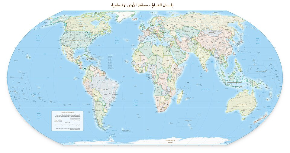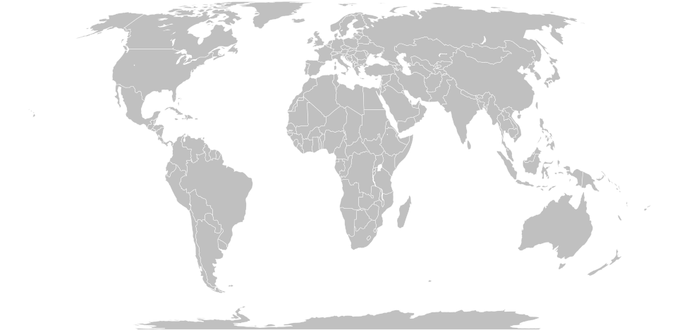
The United Nations General Assembly voted 164 to 1 on Friday to adopt a resolution promoting the Equal Earth map projection as an alternative to the Mercator map, which has shaped how most of the world visualizes geography since the 16th century.
The resolution was sponsored by Togo and backed by the African Union. Only the United States voted against it. Six countries, including Serbia, Estonia, Georgia, Lithuania, Moldova and Ukraine, abstained, according to CBS News.
The core issue is scale. On the Mercator map, Greenland and Africa appear to be roughly the same size. In reality, Africa is 14 times larger than Greenland. The Equal Earth projection, developed in 2018, follows the Earth's curvature and shows continents in their true proportions.
The Mercator map was designed by Flemish cartographer Gerardus Mercator in 1569 to help European navigators at sea. The design preserved angles and straight bearings, a useful feature for ocean travel, but it exaggerates the size of landmasses near the poles, inflating regions like Europe, Russia and North America while shrinking Africa, Latin America and South Asia.
"Maps shape our understanding of the world," Togo's Foreign Minister Robert Dussey told the General Assembly before the vote. "They guide education, nourish the imagination, and influence collective perceptions."
Geographers have long pointed out the practical limits of the Mercator projection. "Outside of that very narrow navigation application, there is no point in using it," said Mark Monmonier, a geography professor at Syracuse University.
The resolution is nonbinding. It does not ban the Mercator projection or require any institution to switch, but it encourages governments, schools, newsrooms and technology companies to adopt Equal Earth instead. Africa No Filter, one of the lead advocacy groups behind the campaign, said after the vote that it wants to see accurate maps "in schools, textbooks, newsrooms, businesses and on the digital platforms billions of people use every day."
The US representative called the measure a "radical ideological project" and said the debate over 16th century map projections was "the reason this institution is losing its credibility."
The African Union adopted the Equal Earth projection in March. Togo is planning a follow-up meeting in Lome early next year, involving UNESCO, the African Union and technology companies including Google, to work out what a broader switch would look like in practice.
French Foreign Minister Jean-Noël Barrot posted on X after the vote: "Changing the map obviously doesn't change the world. But correcting a representation that distorts it is already an act of truth."