

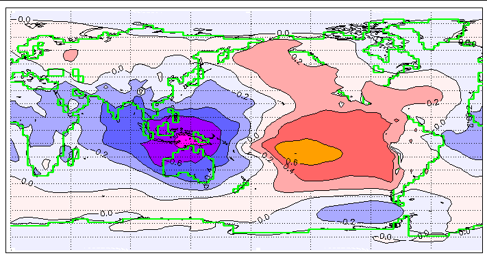
The ocean off Southern and Central California is unusually warm right now, but NOAA scientists say that warmth is not from El Niño. It comes from a recent marine heat wave that began before the current El Niño developed. The West Coast is still waiting for the full effects of what could be a very strong El Niño event.
As reported by Phys.org, NOAA's National Weather Service declared in June that El Niño had officially developed. That declaration is based on ocean temperatures in the tropical Pacific near the equator, which warm first, ahead of any impacts reaching the Americas. Eastern tropical Pacific temperatures have already risen more than 2°C above normal, but the effects along the West Coast typically lag that increase by several months.
The mechanics of how El Niño reaches the coast involve two separate pathways. The first is an oceanic teleconnection. Winds that normally blow westward along the equator weaken during El Niño and sometimes reverse in what scientists call westerly wind bursts. Those bursts generate oceanic Kelvin waves that travel east along the equator, hit Central and South America, and then travel north along the North American coastline as coastal trapped waves.
These waves travel underwater and produce only small changes in sea level, around 15 centimeters or 6 inches, but they are measurable at tide gauges and from satellites. Kelvin waves from this spring and summer first reached California in May and June. Nate Mantua, a research scientist with NOAA's Southwest Fisheries Science Center in Santa Cruz, said their impacts on the West Coast will likely be minor compared to what is expected this fall and winter.
The second pathway is atmospheric. El Niño conditions in the tropics can modify atmospheric pressure patterns over the North Pacific, which can weaken or reverse the winds that normally drive upwelling of cold, nutrient-rich water along the coast. Michael Jacox, a research oceanographer with NOAA's Southwest Fisheries Science Center and Physical Sciences Laboratory, said the oceanic teleconnection has its strongest effect off Southern California, while the atmospheric teleconnection matters more off the Pacific Northwest.
Both forces together are expected to produce unusually high temperatures along the coast. NOAA's Integrated Ecosystem Assessment program is tracking changes in sea level, water temperature, and marine life as indicators of El Niño's arrival. Scientists are watching those signals closely as fall approaches.